


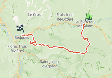


22 km | 31 km-effort


User GUIDE


FREE GPS app for hiking
 SityTrail
IGN / Geographical institutes
SityTrail World
The world is yours!
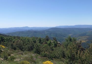
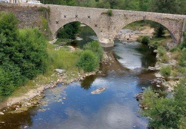
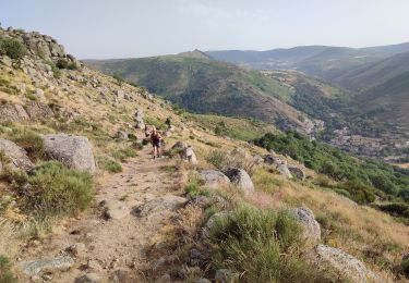
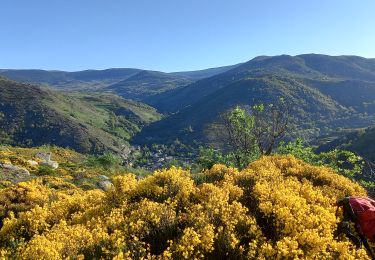
Trail Walking of 25 km to be discovered at Occitania, Lozère, Pont de Montvert - Sud Mont Lozère. This trail is proposed by Kargil.
Attention, à Bédouès, les noms des 2 campings sont inversés sur la carte IGN.


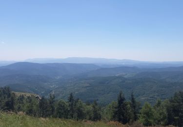
Walking

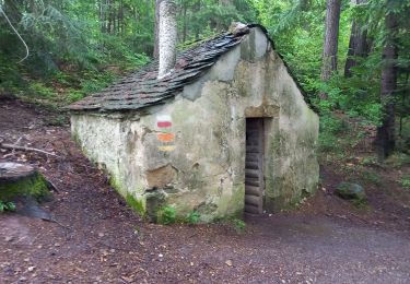
Walking
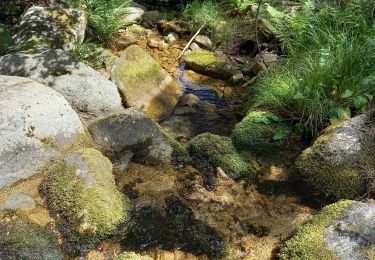
Walking
Walking
Walking

Walking
Walking
Walking
Walking